I have had ill luck however in only one little earthquake having happened
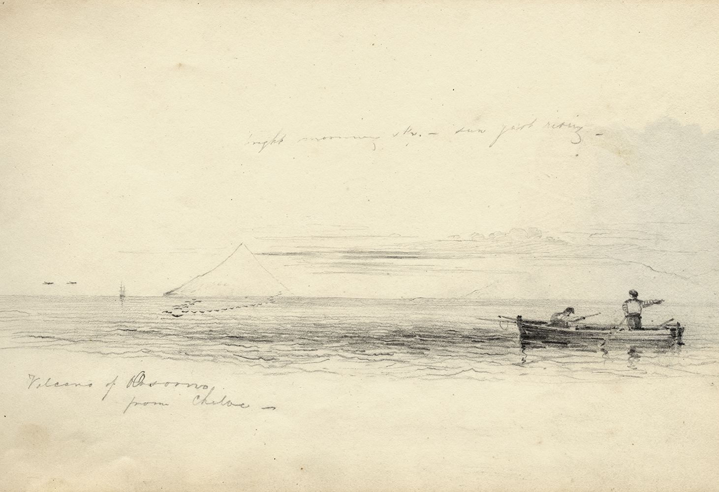
Darwin experienced his first earthquake in 1834, but it was a few months later that he was really confronted with their power. Travelling north along the coast of Chile, Darwin and Robert FitzRoy, captain of HMS Beagle, were confronted with a series of violent natural events that they were perfectly placed to study. On 19 January 1835 they witnessed the volcanic eruption of Mount Osorno, and a month later a large section of the west coast was shaken by an earthquake. Darwin was in Valdivia where the damage was relatively slight but in Concepción, a tidal wave engulfed the town demolishing most of the buildings. He later wrote to his cousin:
you will probably have seen in the Newspapers an account of the dreadful earthquake. We were at Valdivia at the time; the shock was not quite so strong there, but enough to be very interesting.- The ruins of Concepcion is a most awful spectacle of desolation.
It was not just the large-scale devastation wreaked in the towns and villages that made an impression; Darwin and FitzRoy also noticed the small but measurable, and apparently permanent, effects on the land surface itself. FitzRoy repeated a survey he had made of the coastline in 1834 and demonstrated that the surface of the land at Concepción had risen in altitude. Darwin, pondering a possible connection between these apparently separate phenomena, began to conceive a grand geological theory. Travelling inland, Darwin concluded that all these separate surface events could be explained by postulating shock waves from a single subterranean event.
Darwin had explored the Cordilleras from the east the year before. Now he crossed them from the west, where, high up in the Uspallata pass, he encountered fossil trees that had clearly once been submerged in sea water - further evidence of dramatic changes in the landscape. In a letter to Henslow he confided that
the picture so plainly drawn of the great epochs of violence … causes in the mind a most strange assemblage of ideas.
From his personal observations of the series of violent natural events, fossilised trees and other evidence, Darwin was attempting to visualise the geological history of the entire sub-continent of South America, testing his field observations against the competing geological theories of the time and, increasingly, constructing his own grand concepts. He developed his own interpretation of the Earth's crust as huge sheets of rock - a similar concept to modern tectonic plates - that rose and fell as the molten material beneath heated and cooled, expanded and collapsed. He also began to construct a series of geological cross-sections and these are amongst the most visually striking objects of Darwin's surviving papers from the Beagle voyage. Hand-coloured, they range in size from 15cm to nearly 2m in width, were pieced together from individual strips of paper, and were based on the surface observations he made and the mineral samples he collected.
Travelling on from South America and crossing back half way round the world, Darwin started to apply this theory on a global scale. He believed that alternate upward and downward movements of the crust were the driving force for all geological change, equally significant in explaining the high plains of South America, the low coral islands of the Pacific Ocean, and even the geology of Europe. In his Red Notebook begun at sea in 1836, he jotted notes for himself for future publications, concluding that the 'Geology of whole world will turn out simple'.


